
Bandelier National Monument
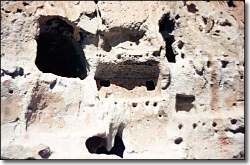
What remains of the ancient homes...
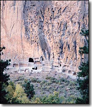
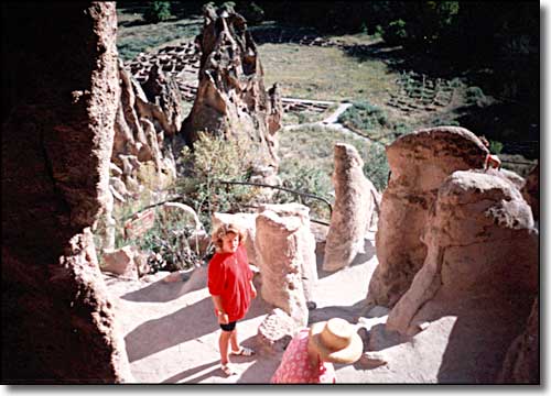
Best known for mesas, sheer-walled canyons and the ancestral Pueblo ruins found among them, Bandelier National Monument also includes over 23,000 acres of designated Wilderness. The National Monument was named for Adolph Bandelier, a 19th-century anthropologist who spent many years in the Southwest plying his craft.
The valley of Bandelier National Monument was a popular refuge for Anasazi, Chacoans and northern San Juan people fleeing the drought devastating their homelands. Located in the high forested lands of the Pajarito Plateau, Bandelier was an oasis to them.
During the 14th and 15th centuries, they built pueblos up the faces of the volcanic rock cliffs and, in other areas, in the open along the streams here. By the time the Spaniards arrived in the mid 1500's, this area had been abandoned and these folks had moved on to the Rio Grande Pueblos where we find their descendants today.
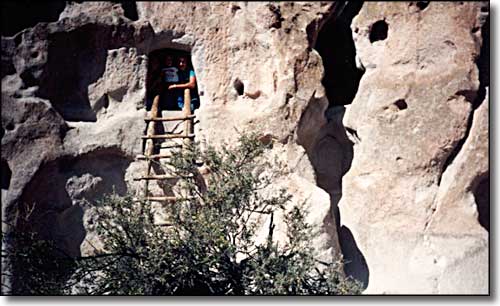
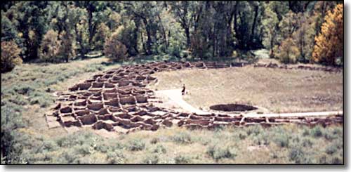
For most visitors, the first activity at Bandelier National Monument is walking the Main Loop Trail, which starts at the Visitor Center and leads through excavated archeological sites. Other trails vary from short and easy to long and strenuous, inviting day hikes, backpacking, birdwatching, and just general enjoyment of the beautiful surroundings. No pets or bicycles are permitted on any of the trails.
Regularly scheduled guided walks, evening programs and interpretive talks are offered in the summer months. Self-guided trails are available year round. Batwalks are also offered during the summer. These are evening, ranger-led walks to the bat cave at Long House, to watch the beautiful nightly flight of the colony of Mexican freetail bats.
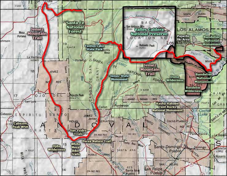
Bandelier National Monument area map
