
San Luis Valley, Colorado
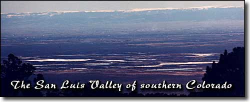
Looking toward Del Norte Peak and the San Juans (from the Como Lake Road)
over the Blanca Wetlands Recreation Management Area (BLM), Alamosa and Monte Vista
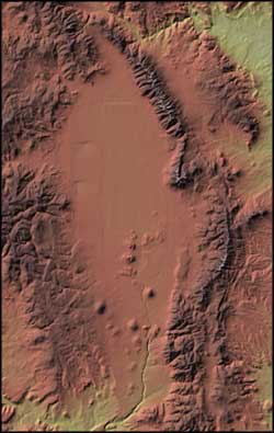
In the distance, an elk's bugling pierces the silence. Rising to 14,345', Mt. Blanca can clearly be seen for miles on a typical sunny day. The clear air, the blue sky... Unbelievable!
Spanning 8,000 square miles, the San Luis Valley is the world's largest alpine valley. The average altitude is 7,500 feet. Everywhere you go here, majestic mountains surround the many attractions and provide the ultimate environment for the outdoor enthusiast.
With attractions like the Sangre de Cristo Mountains, the Great Sand Dunes National Park, the Alamosa, Monte Vista and Baca National Wildlife Refuges, the Gold Medal fishing waters of the Rio Grande, Penitente Canyon, Cumbres & Toltec Scenic Narrow Gauge Railroad, and numerous natural hot springs, San Luis Valley has a bit of something for everyone.
The San Luis Valley sits atop the Rio Grande Rift, a split in the crust of the Earth where the sides are pulling away from each other. If the Valley floor were excavated, bedrock would be down about 30,000 feet, making the actual bottom of the Valley close to 4 miles below sea level. Over millenia, the mountains surrounding the Valley have eroded away, filling in the hole with rock, sand and earth. Quite a few streams flow into the Valley, only to sink into the ground before they go very far. The only surface water to leave the Valley is the Rio Grande itself, flowing to the south along the crack named for it. There is a huge water aquifer under the valley and, below a certain depth, all of it is hot.
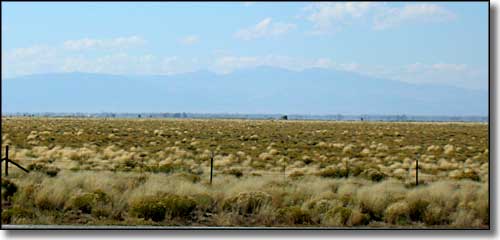
Looking west on the Valley floor, just west of Blanca
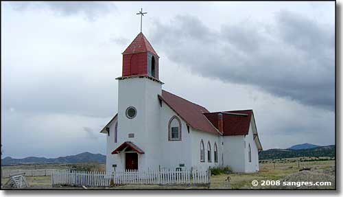
The La Garita Church (notice the cross on top)
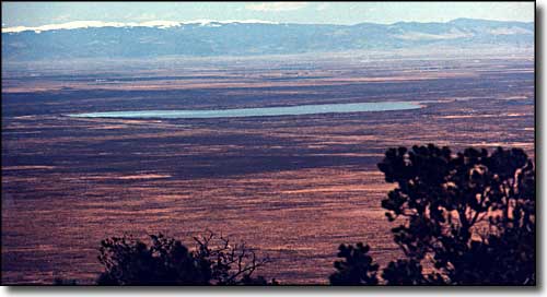
Looking across the Valley, San Luis Lakes State Park in the middle
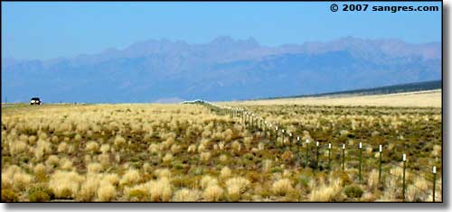
The Sangre de Cristo Mountains border the Valley on the east
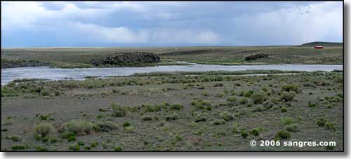
The Rio Grande, west of San Luis
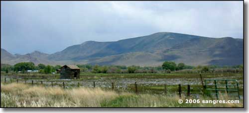
The San Luis Hills, east of Manassa
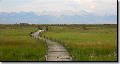
Russell Lakes State Wildlife Area
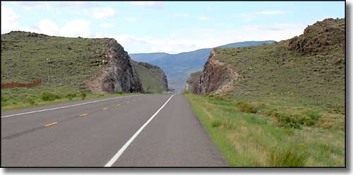
US 285 south of Saguache
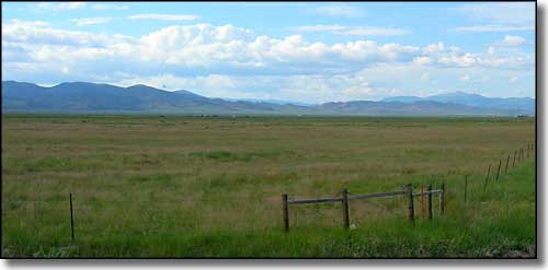
The Cochetopa Hills
Alamosa - Mosca - Hooper - Monte Vista - Del Norte - Antonito - Zapata Falls
Rio Grande National Forest - Great Sand Dunes National Park - San Luis Lakes
Alamosa County - Conejos County - Costilla County - Rio Grande County - Saguache County
Los Caminos Antiguos Scenic and Historic Byway - Russell Lakes SWA
La Garita Natural Arch - Penitente Canyon
Sangre de Cristo Mountains from the San Luis Valley
National Park Service Sites - BLM Sites - National Wilderness Areas - Unique Natural Features
Outdoor Sports & Recreation - Ski & Snowboard Areas - Photo Galleries - Colorado Mountains
