Prehistoric Trackways National Monument

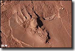
Prehistoric Trackways National Monument is a 5,280-acre property that was established in 2009 to conserve and protect a major deposit of Paleozoic Era fossilized footprints left behind up to 280 million years ago (predating the dinosaurs) by various reptiles, amphibians and insects. Mixed in with the footprints are fossilized plants and pieces of petrified wood. Some of the species represented were previously unknown. Prehistoric Trackways National Monument contains some of the most significant Early Permian track sites on Earth.
However, as new trackways are discovered, they are removed and taken to the New Mexico Museum of Natural History and Science in Albuquerque, so don't go to this property thinking you're going to see much of the ancient footprints. If you want to see the fossilized footprints, go to the museum in Albuquerque.
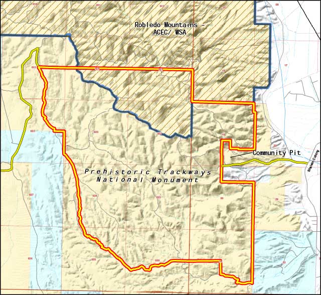
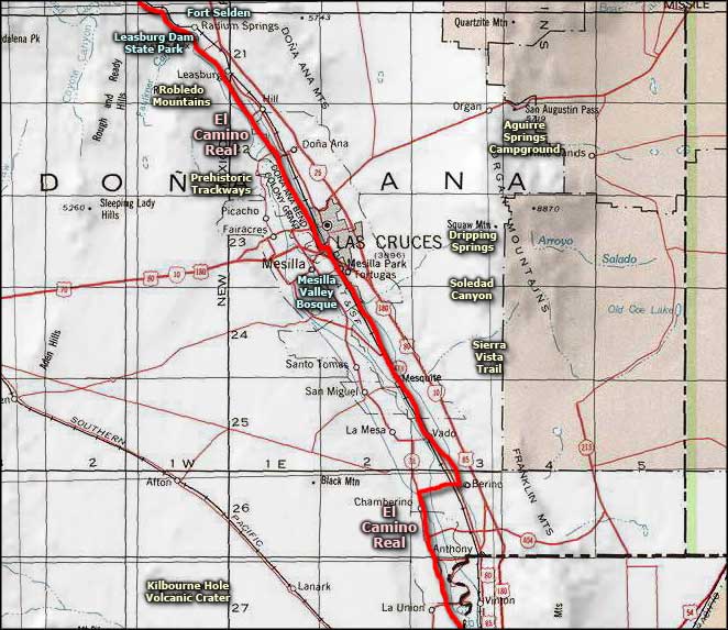
The property itself is located in the Robledo Mountains northwest of Las Cruces at a median elevation of 4,500'. The Robledo Mountains are a typical desert mountain range: heavily incised canyons in a steep mountainous terrain. The vegetation is dominated by creosotebush and cactus. Annual rainfall runs around 8.5", and most of that arrives in July, August and September in the form of thundershowers. There is the possibility of hiking, horseback riding and driving off-highway vehicles in some portions of the national monument. The property is open year-round and there are no fees involved.
To get there: make your way to Shalem Colony Trail, north of Las Cruces. On Shalem Colony Trail, just south of the bridge across the Rio Grande you'll find a dirt county road heading west (Rocky Acres Trail). Go about 1/4 mile on Rocky Trails Road until you come to another dirt road on the left heading west. Turn onto that, cross the cattleguard and continue west. You'll be on the property very quickly and after about 1 mile, you'll be wishing you were in a high-clearance 4WD vehicle...

Prehistoric Trackways National Monument map

Prehistoric Trackways National Monument area map
Sierra Vista Trail - El Camino Real - Mesilla Valley Bosque
Fort Selden State Monument - Leasburg Dam State Park
Aguirre Spring Campground - Robledo Mountains OHV Trails
Kilbourne Hole Volcanic Crater
Photo Galleries - Unique Features - BLM Sites - Outdoor Sports & Recreation
New Mexico's National Forests - Wilderness Areas - New Mexico's National Parks
National Wildlife Refuges - Ski & Snowboard Areas
