
Canyonlands National Park Photo Gallery #2
The photos below are courtesy of the National Park Service. The Shafer Trail is a dirt road leading down to the Green River near Island in the Sky. Most of the dirt roads around central eastern Utah are leftovers from the hey-days of uranium prospecting: this ancient landscape in the Moab area has a lot of uranium oxide ore laying around. And now, with the rapid increase in energy prices, there is renewed interest in nuclear power plants. Uranium processing plants that have been closed for 40 and 50 years are now being refurbed and prepped for operations again.
Clicking on a photo below will bring you a larger version of that photo
To return, use the Back button in your browser.
To return, use the Back button in your browser.
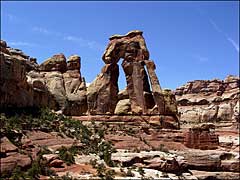 Druid Arch |
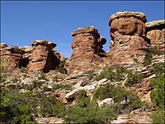 Elephant Canyon |
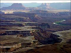 Green River Overlook, Island in the Sky |
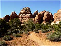 The Needles |
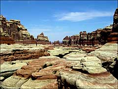 More Needles |
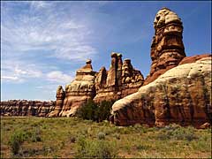 ...and More Needles |
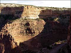 The Shafer Trail |
