Sarvis Creek Wilderness

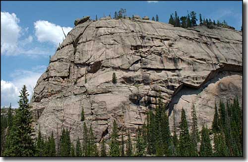
A granite dome in Sarvis Creek Wilderness

Almost alone among Colorado Wilderness areas, Sarvis Creek Wilderness has no alpine tundra on its 47,140 acres. Instead, the forest here is very thick with lodgepole pines at the lower elevations and spruce and sub-alpine fir higher up. The only openings in the almost impenetrable tree cover are at large rock outcroppings and in open marshy meadows. That means lots of hiding spaces for the elk, deer, black bear, mountain lions and bobcats that call Sarvis "home."
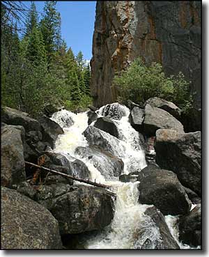
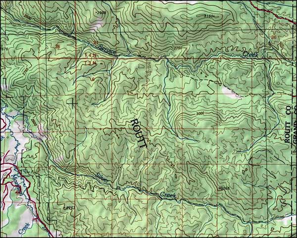
Service Creek and Silver Creek are at the hearts of the 2 principal drainages in the Sarvis Creek Wilderness. Both creeks run east-to-west beneath a large burden of deadfall (trees fallen across the waterways) before emptying into the Yampa River. There's a trail that runs uphill along Service Creek for about 12 miles. There's another that follows Silver Creek uphill for about 10 miles. The upper ends of the 2 trails can be connected by a difficult cross-country trek while the lower ends are separated by several miles of road. Other than that, there's just not much for hiking trail in Sarvis Creek.
(An interesting one: on every map that I have to work with, Sarvis Creek is written "Service Creek." So either someone has a sense of humor or someone is trying to "throw the scent off" by spelling it the way the local folks say it... and then further research says this wilderness area was once the property of the Sarvis Timber Company.)

Sarvis Creek Wilderness map

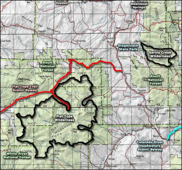
Sarvis Creek Wilderness area map
Flat Tops Trail Scenic Byway - Colorado River Headwaters Scenic Byway
National Park Service Sites - BLM Sites - National Wilderness Areas - Unique Natural Features
Outdoor Sports & Recreation - Ski & Snowboard Areas - Photo Galleries - Colorado Mountains
