Sky Island Parkway

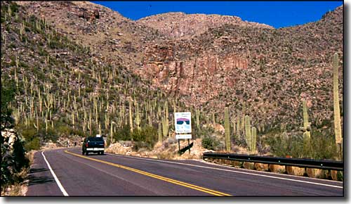
Just starting up the hill on the Sky Island Parkway

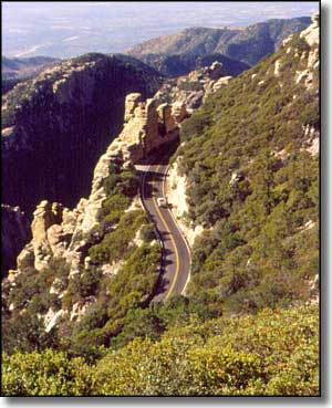
The Sky Island Parkway used to be known as the Catalina Highway, a good name for a road that climbs to the top of Mt. Lemmon (9,157') in the Santa Catalina Mountains north of Tucson. In 27.2 miles, the road gains almost 7,000' in elevation, and the outside temperature gets much cooler than it is in the valley below. That's why the Mount Lemmon Ski Valley is up here (and the ski lifts usually run all year - when there are customers for the view).
Tucson is in a basic Sonoran desert scrub (paloverde, mesquite, prickly pear, cholla and saguaro cactus) but as you climb the mountain you'll pass through a zone of chaparral and oak woodlands with alligator juniper and manzanita, then at about 8,000' you'll enter into the zone of the Ponderosa pines and Douglas firs, then higher still you'll find the mountain ash and quaking aspen.
As the Sky Island Parkway is entirely within the boundaries of Coronado National Forest, there are campgrounds, trailheads and recreation areas all along the route. The original road was built using prison labor, starting in 1933. At first the prisoners were using shovels, picks and wheelbarrows for the work, later on they got bulldozers and jackhammers. It took them 17 years to build the road we drive now in about an hour.

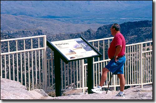
Windy Point Vista on the Sky Island Parkway

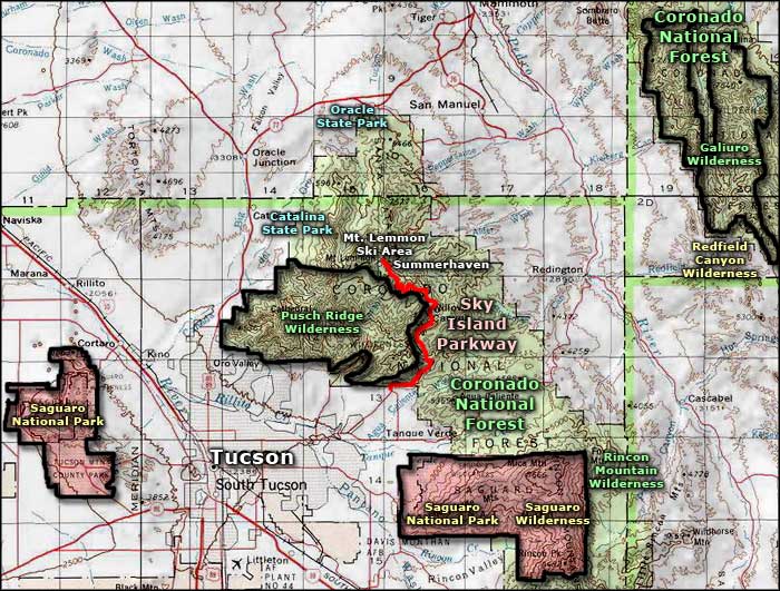
Sky Island Parkway area map
