
Agua Fria National Monument
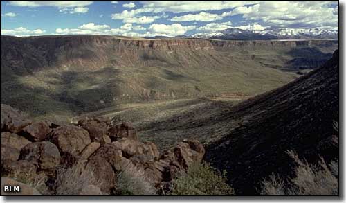
Agua Fria Canyon
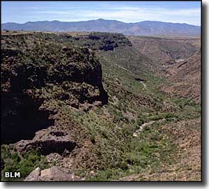
Agua Fria National Monument is comprised of 71,100 acres of land about 40 miles north of downtown Phoenix. More than 450 Ancestral Puebloan structures have been found on the property, some of them consisting of more than 100 rooms each. Most of the ruins were built in the 1250-1450 CE time frame. The folks who lived here are part of the Perry Mesa Tradition, a group also noted for their prolific rock art: there are thousands of petroglyphs depicting abstract symbols, geometric figures and animals, on the property.
With an elevation that varies between 2,150' and 4,600', Agua Fria National Monument straddles the line between desert and semi-desert ecosystems. You'll find amphibians and reptiles like the diamondback rattler, Leopard frog, Desert tortoise, fence lizard, horned toad and garter snake. You'll also find white-tail deer, mule deer, javelina, coyote, bobcat and pronghorn all through the property but there are also a few black bear, mountain lion and elk (depending on the season).
This is a semi-desert grassland on top of a rocky, basaltic plateau that has been cut into deeply by the Agua Fria River, exposing precambrian rock all the way down to the river bottom. The canyon bottoms tend to the riparian forest side of things, with big cottonwoods, sycamores and willows fringing reed and bullrush wetlands. In the water you'll find native fish like the Gila mountain sucker, the speckled dace, the Gila chub and the longfin dace.
Many roads in Agua Fria National Monument are of the high-clearance 4WD sort, but off-road driving is not allowed. There is an area at Pueblo la Plata where there are several ancient stone pueblos in close proximity to each other. To get there: get off the I-17 at the Bloody Basin Road and enter Agua Fria National Monument through the main entrance (no permits required, no fees to pay). Follow Bloody Basin Road for 8.3 miles from the entrance, then turn north on a dirt road for about 1 mile. You'll want high clearance, limited parking is available at the end of the road, follow the uneven, rocky trail to the pueblo ruins.
There are no developed visitor facilities within the National Monument. Dispersed camping is allowed in some areas with a 14-day stay limit. As summer temperatures are often above 110°F, summer is probably not the best time to visit.
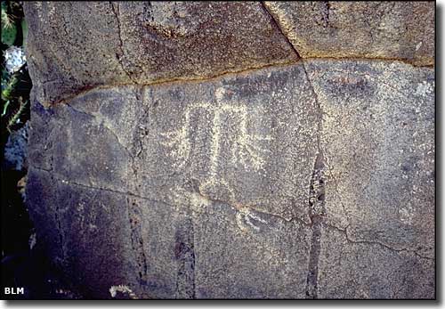
Petroglyphs in Agua Fria Canyon
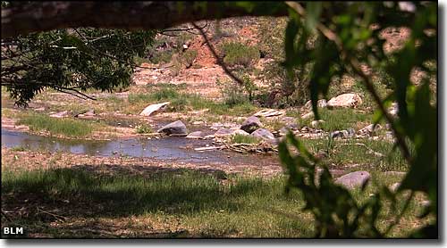
Agua Fria River in the bottom of the canyon
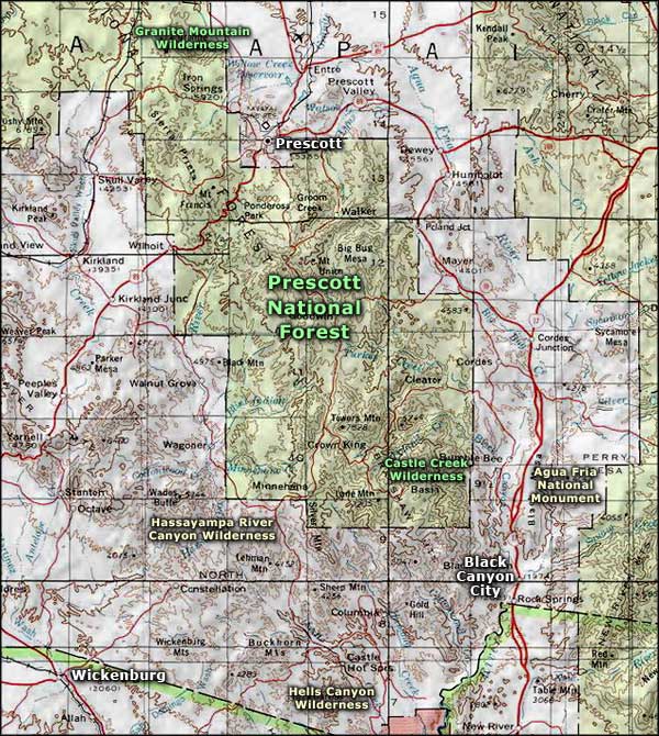
Agua Fria National Monument area map
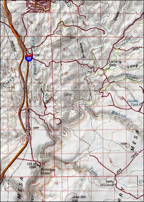
The central portion of Agua Fria National Monument
